Prosjekter

Oversikt over NRs prosjekter

For å se på et mindre utvalg av prosjekter innenfor en avdeling eller forskningsområde, kryss av på de aktuelle boksene. Hvis flere bokser avmerkes, vil søket gi prosjekter som tilfredsstiller minst en av de avkryssede boksene i hver av søylene med avkryssede bokser.

Project filter

Sider

SeaU

Multisensor Satellite Technologies for Oil Pollution Monitoring and Source Identification

Pollution by oil spills in open sea and coastal waters is a major problem due to frequent transport of goods by ships. Many ships dump oil illegally when they think nobody's watching. Monitoring of oil spills from ships is therefore a high priority task.

Sentinel4Nature

Monitoring and mapping of environmental gradients using Sentinel data in combination with supplemental data

Skjermkontraster

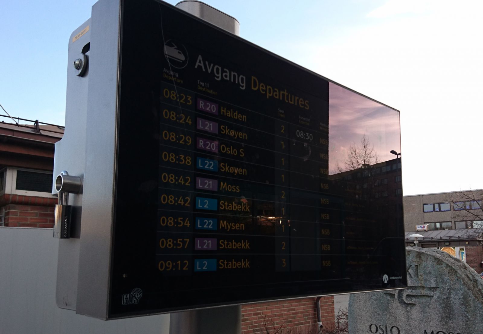
En informasjonstavle som står ute, fra NSBMålet med dette prosjektet var å diskutere ulike teknologier, verktøy og metoder, og å gi en konkret, begrunnet anbefaling for den mest pålitelige og effektive måten å måle skjermkontraster på.

SnowLab

Several snow parameters and snow products can today be derived from optical and multi sensor satellite data. Present snow algorithms are developed using a number of satellite sensors, data formats, programming languages as well as being of variable quality. In view of new satellite sensors recently (or within shortly) launched, the SnowLab project will develop a snow retrieval algorithm user interface utilizing both single/multisensor state-of-the-art retrieval algorithms and in house developed algorithms under the Environment for Visualizing Images (ENVI).

SnowMan

In Norway, operational snow cover area monitoring is performed based on satelitte data and is a useful tool in hydropower production planning, snow monitoring and flood prediction systems. Hydrological precipitation-runoff models have been in operational use for more than 20 years for flood warning, planning, design and operation of hydropower systems in addition to impact assessments.

Sider