Some results
Some results
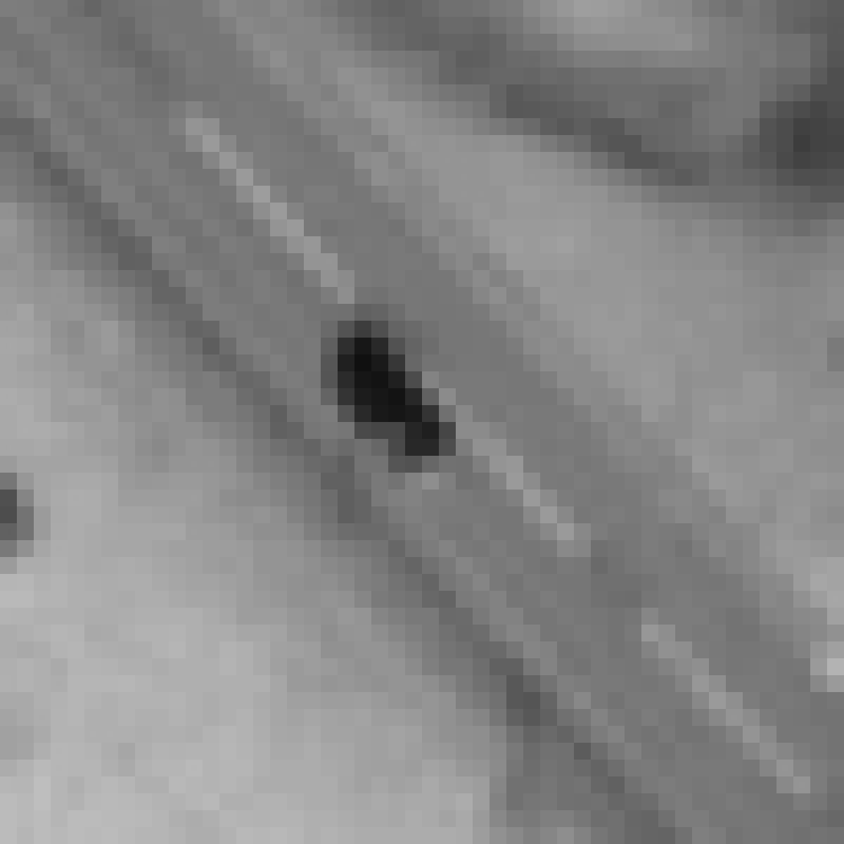
Vehicle detection: Our vehicle segmentation strategy is based on a so-called Laplacian of Gaussian filter which is used to search through the image for elliptically shaped blobs, i.e., regions of relatively constant intensity that are brighter or darker than the local background. This approach is robust towards varying contrast across the image, and visual inspection of the results reveal that as good as all vehicles represent a local extremum in the convolution response when using Laplacian of Gaussian filters over a range of scales, reasonably selected to represent typical vehicle sizes.


Vehicles appearing as elliptical blobs in the image.


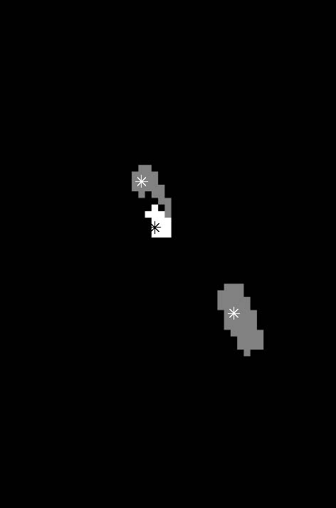
Example segmentation results.
We are constantly running experiments in order to validate the developed methods and improve the detection rate. In 2011 the entire processing chain was validated using QuickBird and Worldview-2 images from Østerdalen (Hedmark county), Mosjøen (Nordland county) and Nordkjosbotn (Troms county) in Norway. Comparing the result to the manually marked vehicle positions in the images, we found that 85.4% of the vehicles were detected, and the false alarm rate was 8.6%, meaning that the reported number of vehicles is on average 94% of the correct number.


These images show some situations where vehicle detection is especially challenging, due to haze, clouds and shadows. Both images are from Østerdalen. The detected vehicles are marked with red boxes. Note that only one of the vehicles (in the left image) have been missed.
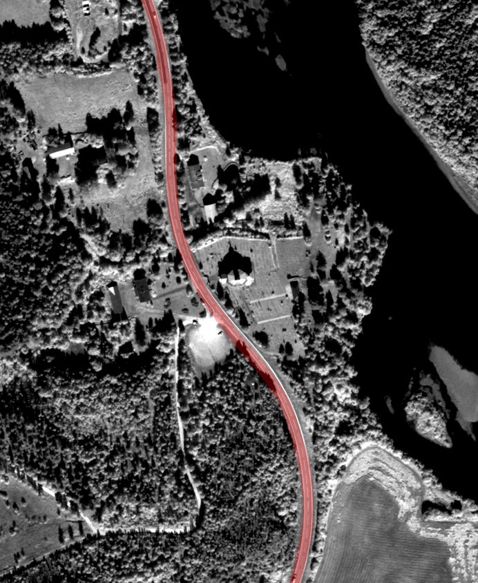
Road detection: The result of the road detection is a road mask, which can be used to locate the road in the original image. This is an example of such a mask overlaid on an image from Østerdalen:

Shadow detection: The cloud detection algorithm was evaluated visually on many cloud contaminated images. The overall performance of the algorithm is very good; however, for some cases it might be difficult to define the limit between clouds and haze.

Cloud/shadow map from QuickBird image of Ørland, August 7, 2004. Red lines indicate detected clouds, and blue lines indicate detected cloud shadows.

